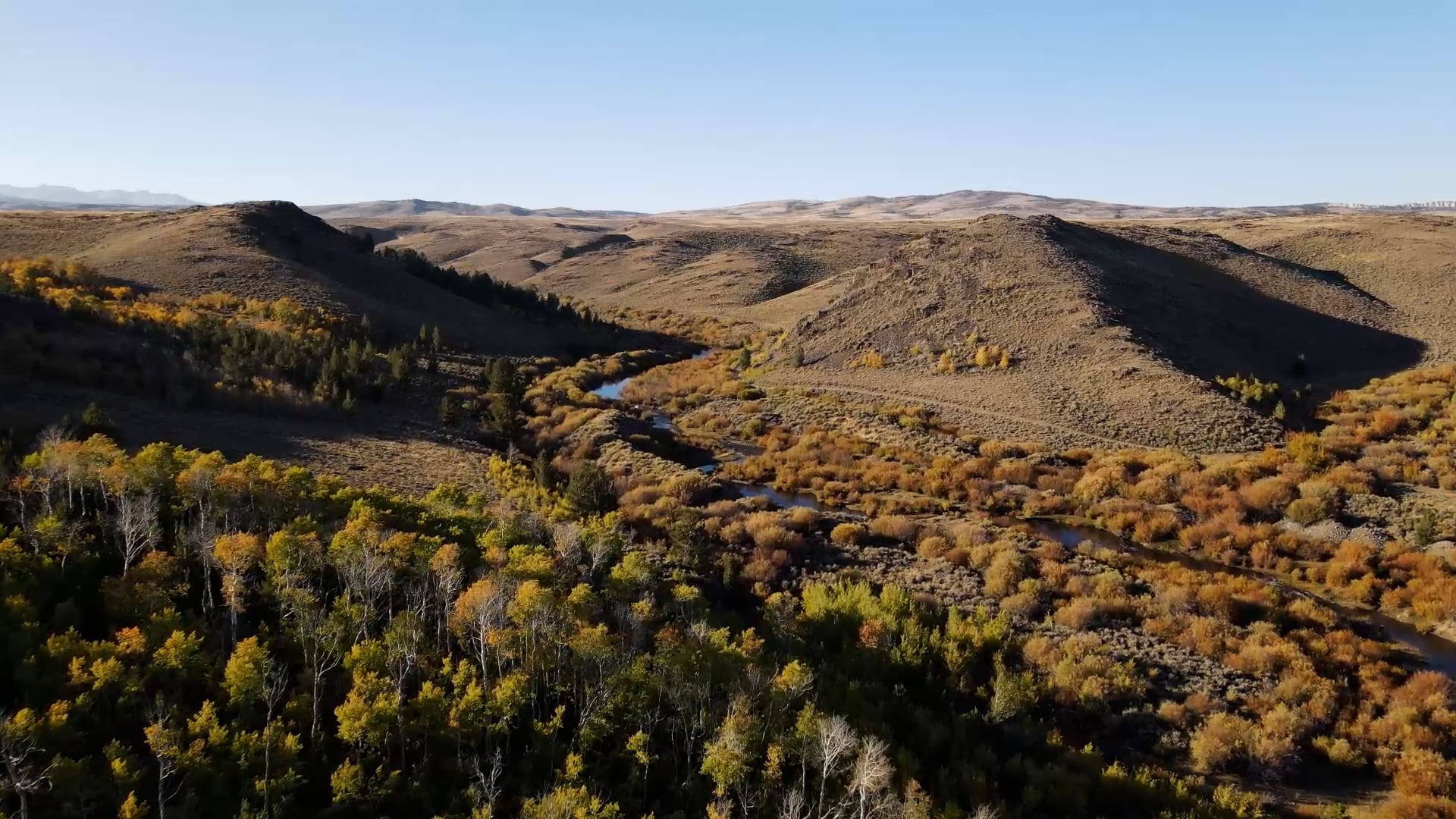
Creekbeds to Bedrock Mining 2,000 Acres of Pure Opportunity Fremont County
World Earth Minerals blends tradition with innovation for the next Wyoming gold boom
W.J. Bryan Claim, Mars Jr. Penzance Claim, Deer Claim, Iron Duke Claim, Buffalo Claim, Black Ranger Claim, Moose Claim, Steamboat Claim, Arkansas Claim, Anaconda Claim, Wild Tiger Claim, Mammoth Claim, Dexter Claim, Persimmon Claim, Montezuma Claim, Aztec Claim, Beaver Claim, Elizabeth Claim, Essex Claim, Antelope Claim, and North Pole Claim.
Atlantic Claim, Rock Creek Claim, Lower Elizabeth Claim, Upper Matchless Claim, Emile & Heloise Claim
The region is home to two historic gold mining districts: Lewiston and Atlantic City/South Pass. Both are located within a belt of Archean rocks, with mining activity dating back to the 1860s through the 1940s. Since then, these districts have seen only limited exploration and small-scale artisanal mining, leaving much of their potential untapped.
In the Atlantic City/South Pass District, several gold mines were developed, the most significant being the Carissa Mine—the region’s top producer. The Carissa Mine yielded over 100,000 ounces of gold, with historic estimates ranging between 50,000 to 180,000 ounces (Jamison, 1911; Hausel, 1991).The Lewiston District experienced less historical development but is notable for its exceptionally high gold grades, indicating significant potential for modern exploration.
With minimal modern exploration, both districts remain high-priority targets for discovering new, high-grade gold deposits in a historically proven gold-bearing region.
The Lewiston Project is situated within the South Pass Greenstone Belt (SPGB), an ancient geological formation dating back 3,875 to 2,750 million years. Nestled along the southern flank of Wyoming's Wind River Range, this Archean greenstone belt shares key geological traits with globally renowned orogenic gold systems, highlighting its significant mineral potential.
The Lewiston District encompasses a vast expanse of metagreywacke from the Miners Delight Formation, interwoven with mafic-ultramafic rocks similar to those found in the western Atlantic City District (Section 6). To the east, the Roundtop Mountain Greenstone sequence borders the district, though its exposure is limited. Further east, the district is bounded by the expansive Lewis Lake Batholith, a complex of calc-alkaline granitoids and gneisses. Additionally, localized Tertiary cover rocks—comprising sandstones, conglomerates, and gravels—are present within the project area.
Historically, the gold mineralization occurs within shear zones with multigenerational quartz veining, with high-grade free gold associated with oxidized quartz veins. The Lewiston Project has at least two major fold orientations as well as two orientations of shearing. The primary shear corridor is oriented NE-SW with a strong lineation plunging to the NE along the shear fabric. This, along with an intersecting E-W shear zone, may create structural conduits for goldbearing fluids to travel along and mineralize the shear zone and surrounding wallrock near reactive horizons. Mineralization is seen as gold bearing quartz veins with Arsenopyrite + Pyrite + Chlorite +/- Sheelite within the shear zone. Outside the core of the shear zones, there is brittle stockwork silicification + chloritization.
In this image, our advanced core drilling operation begins, cutting deep into the earth to extract samples. Each drill rotation brings us closer to uncovering the precious minerals beneath the surface.
Here, the drill breaks through layers of rock, capturing an undisturbed core sample that tells the story of the land’s rich mineral composition. This crucial step helps us assess gold, silver, and rare earth element concentrations with scientific precision.
Laid out and bagged, these freshly extracted core samples hold the key to unlocking high-value mineral deposits. Every sample undergoes rigorous testing to determine the next steps in our mining operations.
This high-resolution Google Earth image provides a strategic aerial view of our property, outlined in red. The yellow lines represent confirmed gold veins and deposits, showcasing the wealth of resources beneath our land. This map is a strategic blueprint, guiding our next steps in exploration, sampling, excavation, and gold processing. It serves as a powerful visual representation of the untapped potential within our claim, reinforcing the direction of our mining operations and maximizing resource recovery.
2255 John F Kennedy Road Ste. 550, Dubuque, Iowa 52002, United States
Mon | 08:00 am – 05:00 pm | |
Tue | 08:00 am – 05:00 pm | |
Wed | 08:00 am – 05:00 pm | |
Thu | 08:00 am – 05:00 pm | |
Fri | 08:00 am – 05:00 pm | |
Sat | 09:00 am – 05:00 pm | |
Sun | Closed |
We use cookies to analyze website traffic and optimize your website experience. By accepting our use of cookies, your data will be aggregated with all other user data.